

El Nino is expected to become stronger before reaching its peak in December, the United Nations has warned.
The weather phenomenon could become one of the strongest El Nino events recorded since at least 1950.
According to the World Meteorological Organization (WMO), El Nino will raise temperatures across large parts of the world. It could also worsen the effects of human-driven climate change.
“El Nino will continue to intensify ahead of its forecast peak in December,” the WMO said in its latest Global Seasonal Climate Update.
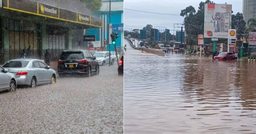
The agency warned that the event could change rainfall patterns. As a result, some areas could face a higher risk of drought, while others may experience flooding.
El Nino expected to strengthen rapidly
El Nino occurs when surface waters become warmer than normal in the central and eastern equatorial Pacific Ocean.
This warming can affect winds, air pressure and rainfall patterns around the world.
El Nino usually occurs every two to seven years. It can last between nine and 12 months.
Meanwhile, weather conditions can shift between El Nino and its opposite phase, La Nina. Neutral conditions can occur between the two events.
The WMO said sea temperatures in the central and eastern tropical Pacific could reach record levels between October and December 2026.
According to the agency, the warming will influence weather patterns and affect economies, ecosystems and communities worldwide.
The forecast draws on information from 13 leading national and international meteorological centres.
WMO chief Celeste Saulo said El Nino is already firmly established.
“El Nino is firmly established and strengthening rapidly,” Saulo said.
She added that forecasts show almost a 100% chance that the weather event will continue through February 2027.
Saulo also warned that it could rank among the strongest El Nino events recorded since 1950.
Ocean stores more heat
Saulo explained that El Nino does not create additional heat on Earth.
Instead, the event releases heat that the ocean has stored.
“The ocean it’s drawing from is the warmest we’ve ever measured it. There is simply more heat available to release,” she said.
As ocean temperatures rise, the extra heat can contribute to higher temperatures in different parts of the world.
Pacific Ocean temperatures reach record levels
The index used to measure sea surface temperature changes in the central-eastern equatorial Pacific has continued to rise.
In June, temperatures in the region were 1.6°C above normal. By August, the figure had increased to 2.5°C above normal.
For October, November and December, forecasters expect the temperature anomaly to reach about 3.7°C above normal.
If that forecast becomes reality, it would set a new record since observations began.
The previous record stood at 2.6°C above normal during the 2015-2016 El Nino event.
El Nino could affect temperatures and rainfall
El Nino normally reaches its strongest point between November and February.
However, the biggest rise in global temperatures often follows the peak of the weather event.
The previous El Nino contributed to exceptionally high global temperatures. The year 2023 became the second-hottest year on record, while 2024 became the hottest.
At the same time, some regions are already experiencing serious impacts.
For example, parts of Central America are facing severe drought. The dry conditions have reportedly affected both crops and animals.
As El Nino strengthens, the WMO expects its effects to spread to more regions through changes in temperatures and rainfall.